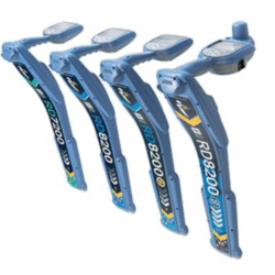
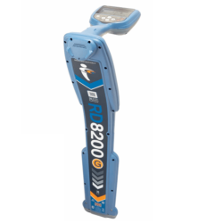
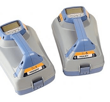
RD8200SG Survey Grade Locator
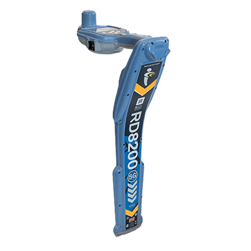
The RD8200SG is our most advanced mapping and utility locating solution with survey grade accuracy.
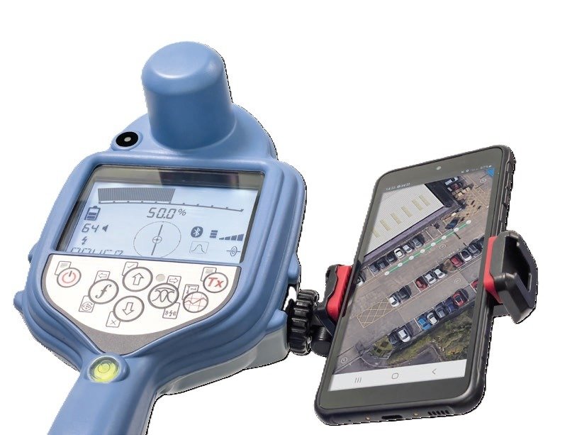
Single operation, map while you locate. Comes built-in with Survey Grade GNSS Antenna. Capture Point of Interest via button press.
Product successfully added to the Quote List
Mapping and Digital Solutions Precision Locator Range
The RD8200SG is our most advanced, combined mapping and utility locating solution that enables users to map buried utilities with survey grade accuracy. The RD8200SG – Survey Grade enable locate and map buried utilities in a single operation.
![]()
Map it Your Way
Mapping buried utilities has been a longstanding practice in the industry.
Access to reliable maps plays a crucial role in safety & risk mitigation,
preventative maintenance and emergency repairs.
There are numerous challenges associated with mapping buried utilities:
- Carrying out the job often requires specialized, costly equipment.
- Mapping utilities needs to be done by a highly skilled team carrying out extensive fieldwork.
- Systems are not set up to seamlessly transfer locate data onto a map and create comprehensive, detailed reports.
As a result, buried utilities frequently lack documentation, leaving their exact location uncertain.
In an increasingly digital world, demand for high quality, reliable, digital maps of buried utilities is quickly becoming the norm.
Radiodetection range of locator features
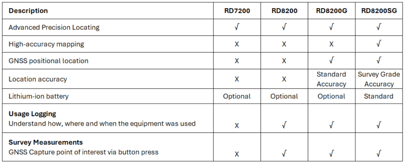
Check out our newly launched Survey Grade locator now!
| Weight | 2.6 kg |
|---|---|
| Dimensions | 700 × 260 × 125 cm |
Features
- Flexibility to work with the mapping application that works for your business.
Choose your preferred mobile app and correction service provider.
- Locate experts. Integrate mapping into your utility locate procedures.
Build a comprehensive inventory of large, buried infrastructure networks.
- Mapping experts. Integrate utility locating into your mapping procedures.
Simultaneously map and locate utilities, without compromising on quality.
- Designed for continuous use in the field.
Great for large utility mapping projects.
- Make the RD8200SG work for you.
View and build your map on your mobile phone.
- Ergonomic design, premium quality.
Well balanced and lightweight.
Download
RD8200SG-BR-US-02 brochureRD8200SG-UG-ENG-02 User Guide
RD8200SG-TS-ENG-02 Technical Specification
RD8200SG-OM-ENG-01 manual
Related products
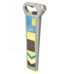
Pipe Cable Locator
Pipe Cable Locator
Pipe Cable Locator
Pipe Cable Locator
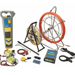
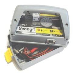
Locating Accessories
Pipe Cable Locator


