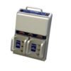
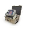
MALA MIRA True 3D Imaging Radar Array GPR
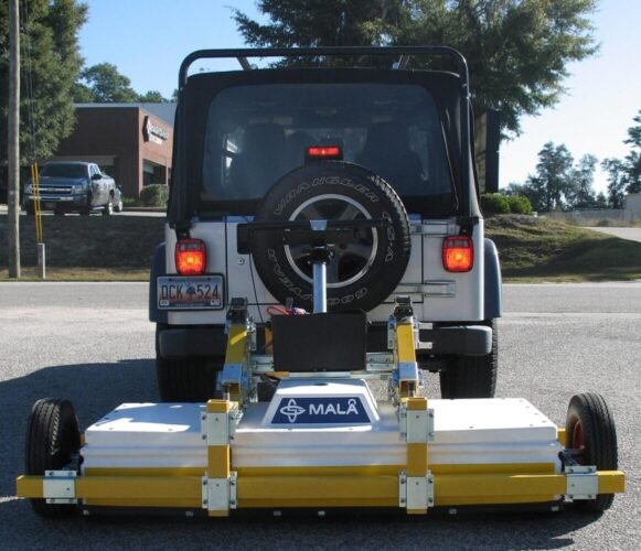
The MALÅ MIRA GPR is a complete 3D Imaging Radar Array solution, from survey to end results.
MALÅ 3D Imaging Radar Array (MIRA) GPR, is a one-pass 3D system providing a cost-effective solution for large-scale object identification and subsurface mapping.
Why MIRA GPR?
- It is the only system of its kind that seamlessly integrates the acquisition, processing, QA/QC, positioning data, interpretation, and export of ground penetrating radar data.
- The MIRA GPR system can scan and produce up to 50,000 m2 per day of productivity.
- The MIRA system is configured using multiple antennas in an array with the MALÅ ProEx control unit at its base.
- The system can have up to 30 antennas simultaneously to gather data in real time. Without compromising the retaining survey speed.
- The MIRA GPR greatest ability is to quickly and easily gather full 3D data in broad paths, the so-called “swots”.
- Results are processed in 3D, displayed and interpreted through a dedicated software package. The data can then be exported into suitable GIS or CAD data formats.
| MIRA 3D System Options: | MALA MIRA 8CH with 200MHz antenna, MALA MIRA 8CH with 400MHz antenna |
|---|
Features
- Mapping & imaging with 3D imaging radar array
- Efficient and detailed large scale subsurface mapping
- User-defined cross-channel communication
- 3 available antenna frequencies 200,400, and 1300 MHz
- Software for acquisition and post-processing included
- Can collect up to 50,000 m2 of data per day
- Customizable no. of channels depending on clients’ needs
- Compatible with external RTK GPS or Robotic Total Station
Application
- Utility mapping & detection
- Archaeological excavations
- Forensic investigations
- Runway investigations
- Roadway and sidewalk scanning
- Sinkhole mapping
- Tunnel detection
- Locating buried objects


