Choose MIRA HDR when the area is too large for single-line GPR.
It is built for high-speed, one-pass 3D mapping where coverage, repeatability and dense channel spacing matter.

A high-speed, one-pass 3D GPR array for large-area mapping, utility corridors, archaeology, road investigation and advanced site screening where dense subsurface coverage is the priority.

MIRA HDR is not just a bigger GPR. It is a survey platform for teams that need broad, repeatable 3D coverage and enough channel density to make large subsurface datasets useful.
It is built for high-speed, one-pass 3D mapping where coverage, repeatability and dense channel spacing matter.
MIRA Compact, Ground Explorer GX or Easy Locator may be more practical for small rooms, narrow access and quick spot checks.
The best configuration depends on survey surface, speed, RTK or total station input, and whether the system is pushed or pulled.
The right MIRA HDR quotation is a complete workflow, not only an antenna array. These four decisions usually define whether the system will perform well on site.
MIRA 500 HDR array with 11 transmitters and 12 receivers in the standard setup, normally collecting 22 channels.
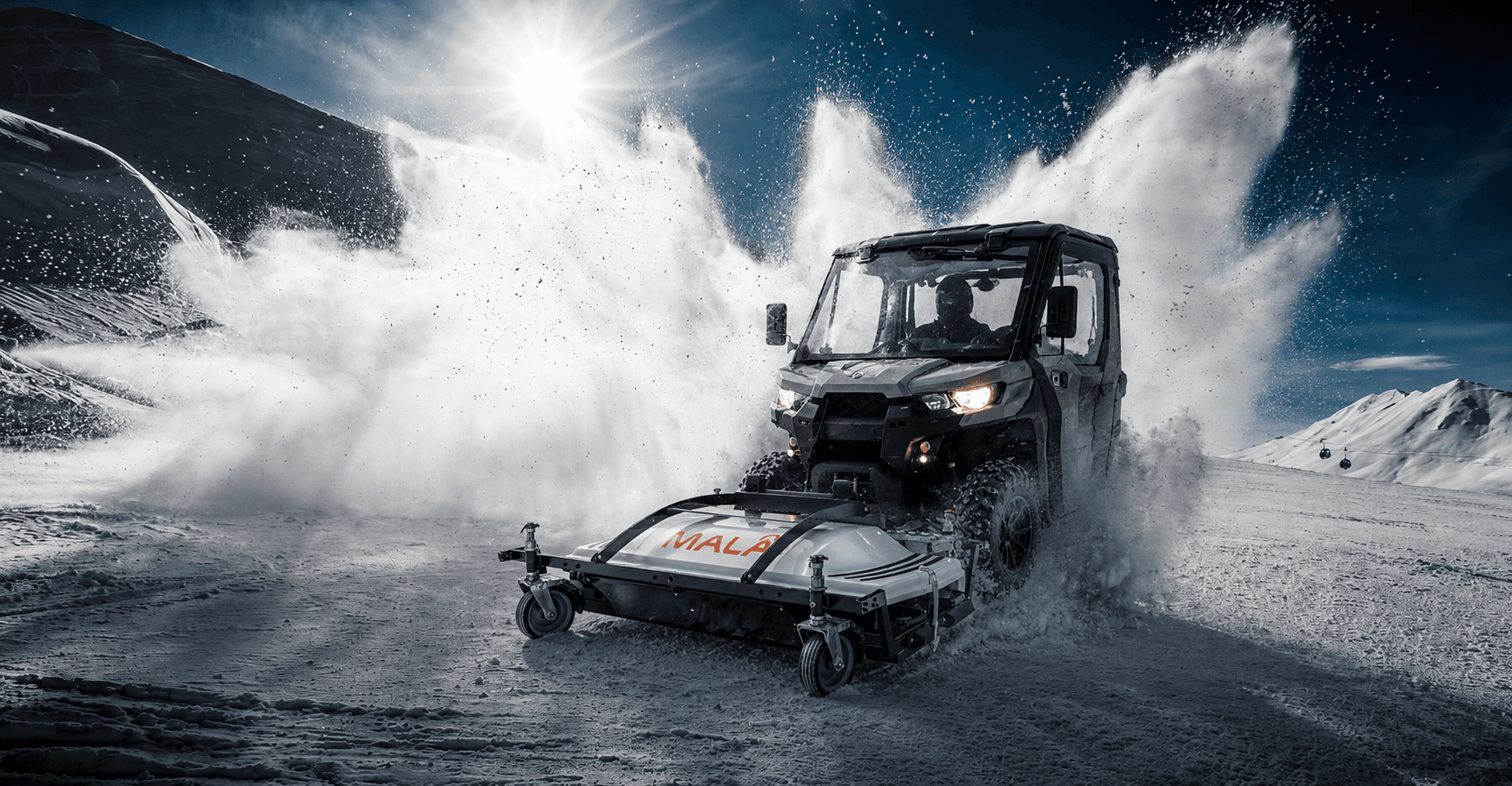
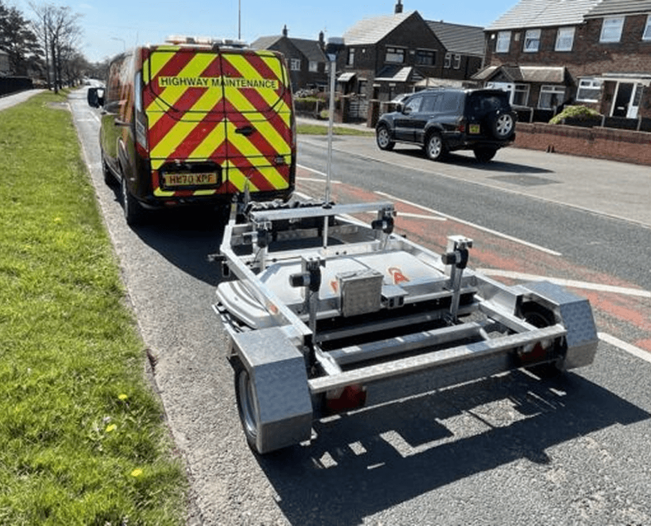
Use a field trailer for large grass or agricultural sites, front-mounted options for vehicle workflows, or project-specific adaptations.
Supports major RTK GPS and total station inputs, with GPS time synchronization for accurate survey positioning.
MIRA Controller handles acquisition and QA/QC in the field, then data can move into MALA Vision and other interpretation workflows.
Carrier choice controls productivity and data quality. Open fields, roads, towable sites and constrained access each call for a different setup discussion.
Designed for the MIRA HDR multi-channel array and optimized for agricultural land or grass fields where an ATV or vehicle can tow the system.
Useful when the survey plan benefits from vehicle integration, clear navigation and consistent large-area coverage.
MALÅ HDR real-time sampling lowers the noise floor, improves bandwidth and helps produce sharper, higher-contrast GPR data.
A wide array, dense channel spacing and high-speed collection help teams cover large survey areas with fewer passes.
The system is designed to collect 32-bit output even at highway-style survey speeds when the carrier and site conditions allow it.
MIRA Controller gives field teams navigation aids and performance tracking so survey quality can be monitored while collecting.
Final performance depends on site conditions, carrier setup, positioning quality and acquisition parameters. RD-Palmer can help translate these specs into a practical field workflow.
| System type | High-speed, one-pass 3D GPR array |
| Standard antenna | MIRA 500 HDR |
| Standard antenna frequency | 500 MHz |
| Control unit | MALÅ MIRA HDR |
| Standard array setup | 11 transmitters, 12 receivers, normally 22 data channels |
| Maximum data channels | Up to 132 |
| Channel spacing | 6.5 cm |
| Scan width | 140 cm / 4.6 ft |
| Suitable target depth | 0-5 m / 0-17 ft |
| Data output | 32 bit |
| Communication | Gigabit Ethernet |
| Positioning input | Supports major RTK GPS and total stations |
| Dimensions | 171 x 61 x 37 cm including handles |
| Weight | 54 kg / 119 lb |
| Power consumption | 150 W |
| Environmental rating | IP65 |
| Certification | EC, FCC, IC |
Pair the MIRA HDR array with the batteries, controller app and MALÅ Vision software that complete a large-area 3D mapping workflow.

Li-Ion battery pack 12V suitable for MALA GPR system.
View accessory
MALÅ Controller App makes measurements easier, faster and more cost-efficient. Integrated positioning with Bluetooth.
View accessory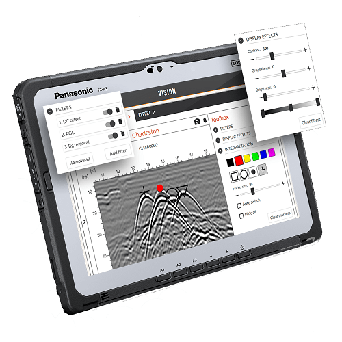
An easy to use cloud-based GPR analysis software to help you go as fast as possible from data collection to delivering results.
View accessory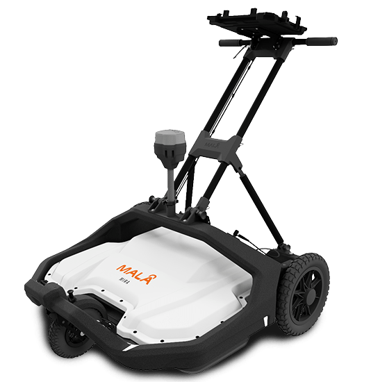
Discover the MALA Mira Compact GPR for 3D underground utility mapping, sinkhole detection, and void identification. Ideal for infrastructure safety and utility mapping
View details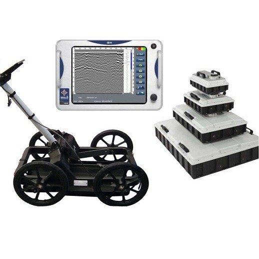
Ground Explorer (GX) is an integrated GPR solution with a wide range of antenna options and measuring devices for multiple application.
View details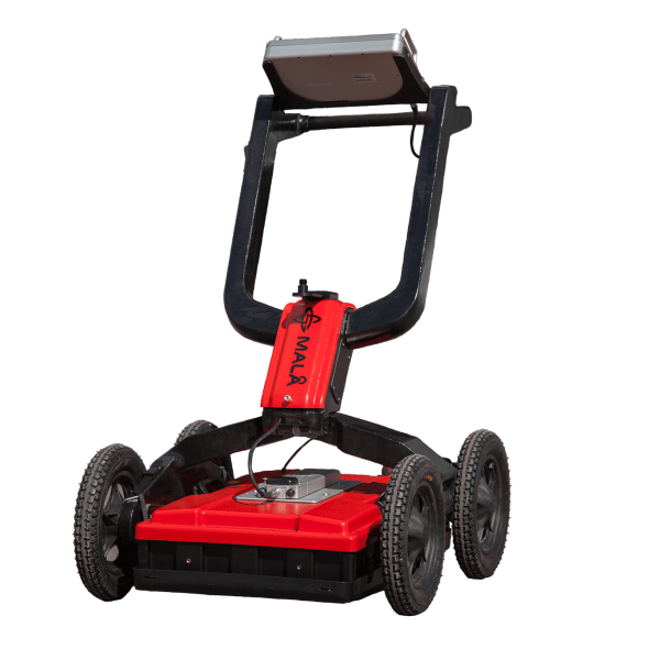
MALA Easy Locator HDR WideRange, widest GPR antenna bandwidth available. Specially developed for efficient utility detection.
View details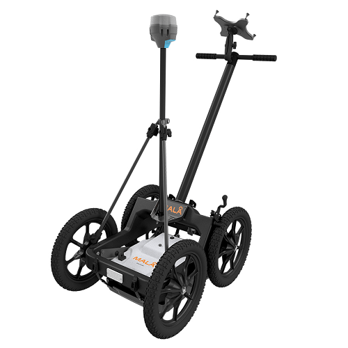
MALA Easy Locator Core – a portable GPR with advanced AI capabilities for high-accuracy underground utility detection. Easy to carry, precise, and efficient for any fieldwork
View details
MALÅ GeoDrone 80 is the cutting-edge solution for unmanned surveying in areas that are dangerous or are hard to reach.
View details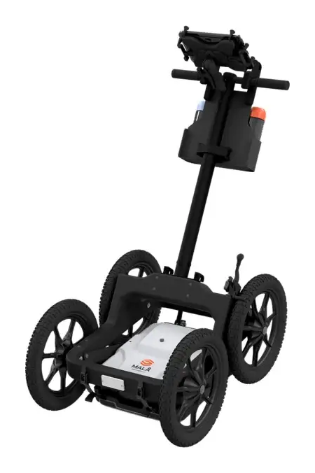
MALA Easy Locator Lite – an easy-to-use, more affordable GPR for fast utility avoidance and mark-out. Preset for utility locating, with real-time MALÅ AI target support.
View details
MALÅ ProEx GPR offers a flexible and versatile approach to detecting subsurface targets and geological layers
View detailsRD-Palmer can advise on carrier selection, positioning workflow, MIRA Controller, MALA Vision, field training and local after-sales support.
Hi, I'm RD-Palmer's product assistant. Ask me about our locators, GPR, leak detection or pipeline equipment, or I can connect you with our sales team.