


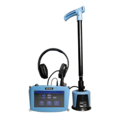
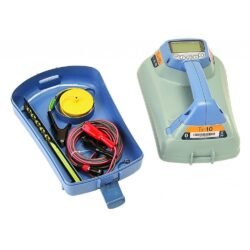
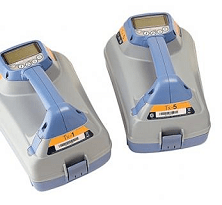
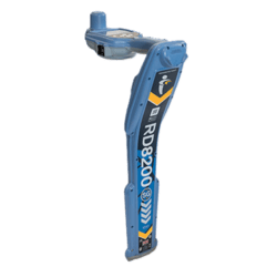
MRX RF Marker Locator
Radiodetection MRX RF Precision Marker Locators, offering optional data logging and survey grade GPS.
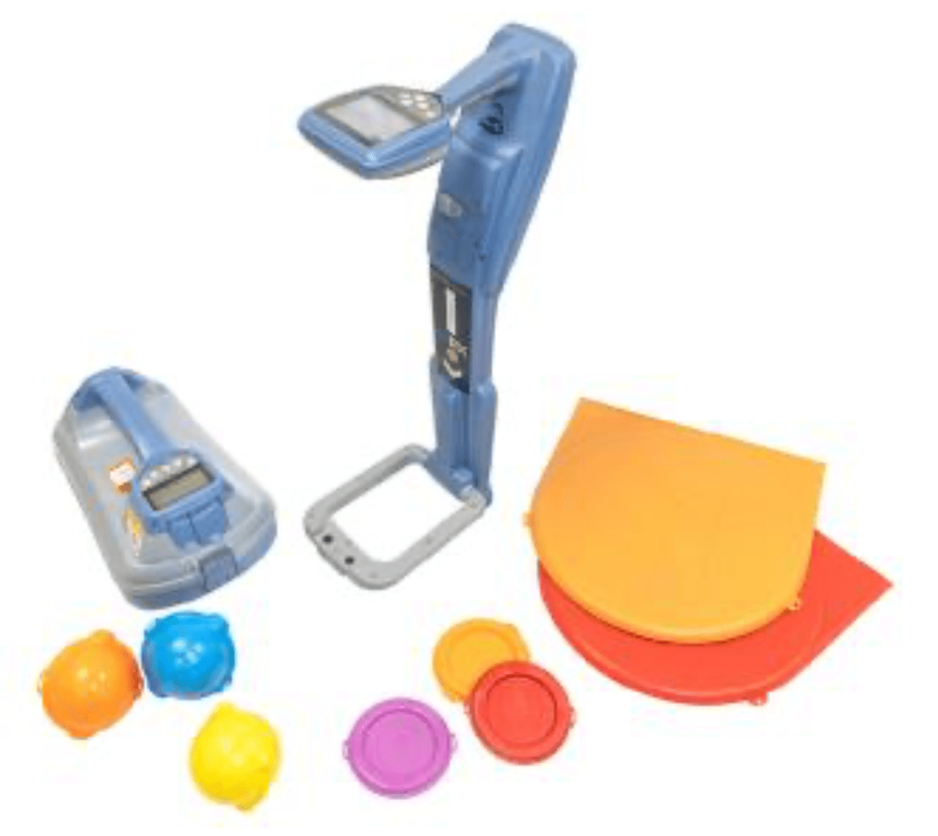
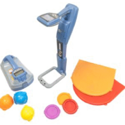
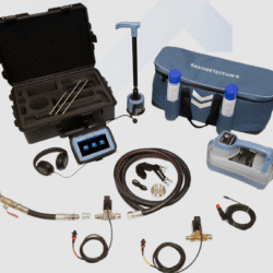
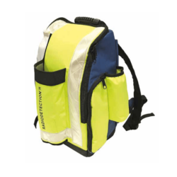
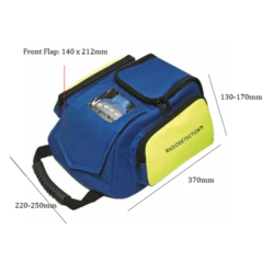
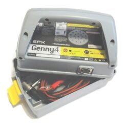
Buying Guide: A standard kit comes with a Locator, Transmitter and Soft Carry Bag. Refer to the table below for reference on the options available.
| ADD ON: |
| + Signal Transmitter |
| + More Locator Accessories |
Product successfully added to the Quote List
MRX RF Marker Ball Locating
Mark and protect your underground assets
The MRX is a robust and ergonomically designed RF (Radio Frequency) marker locator that combines utility line detection and marker ball locating in a single, reliable device. Built for accurate and efficient daily use, it delivers powerful performance and the versatility to switch seamlessly between line and marker detection—no need to change equipment.
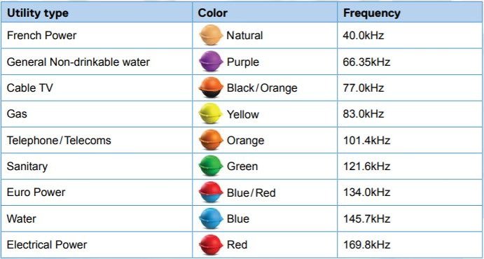
RF Markers
RF markers are vital for locating underground infrastructure such as plastic pipes, fiber optic cables, and key network points. Available in various formats—marker balls, near-surface, mid-range, and full-range—these markers are typically buried directly above or adjacent to the asset. This makes them indispensable for pinpointing hard-to-detect utilities. Radiodetection’s RF marker locators are engineered to detect the most commonly used marker types.
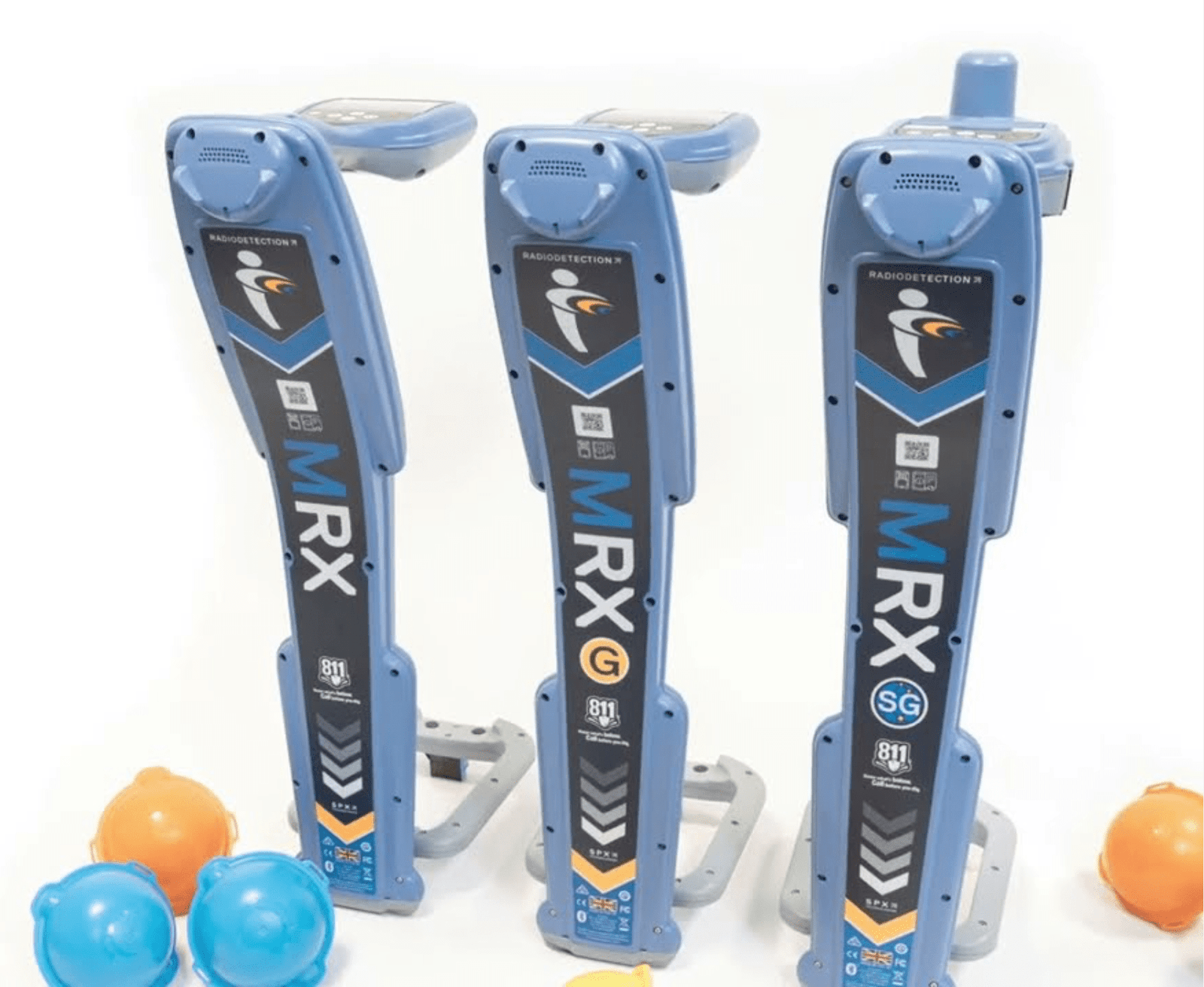
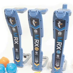
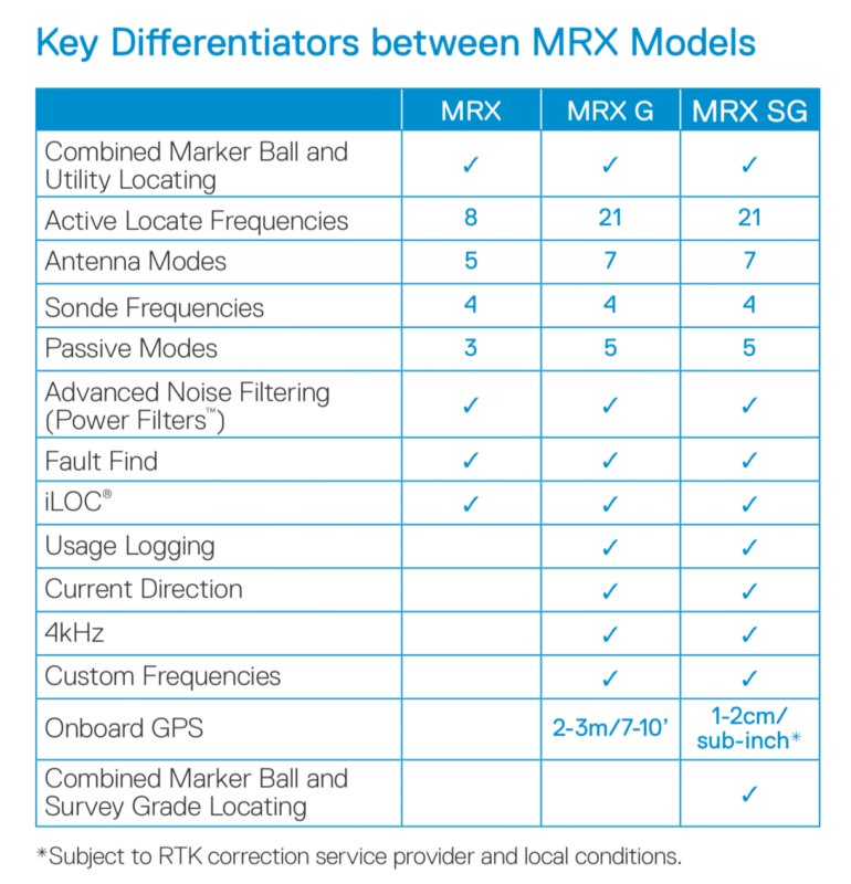
The MRX Product Range
The MRX series includes three models tailored for diverse locating applications. Whether you’re tracking utilities, identifying buried markers, or performing both tasks simultaneously, there’s a model to suit your workflow:
- MRX: A dependable, dual-purpose locator for everyday line and marker detection.
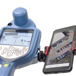
- MRX G: Enhanced for complex environments, this model adds advanced detection capabilities and integrated GPS for seamless digital mapping.
- MRX SG: A high-performance solution that combines utility locating, marker detection, and high-accuracy GPS mapping in one advanced tool.
Integration with Google Maps
- User can view your survey points on Google Maps Create detailed KML utility maps in real time* and share them directly from the field using the free RD Map android app.
- User can utilize the Google Maps technology to review and correct any errors. The same produce professional maps that can be e-mailed or shared using a compatible app.
*Requires data connectivity. RD Map only works in countries where Google Maps is available.
Check out below tables for available model and features.
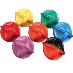
Marker Balls Options
Guidance Mode
This enables the path of a single utility to be found and traced quickly. Directional information is displayed alongside proportional distance arrows to help find the utility and then keep you on its path. The simultaneous display of depth and current information gives confidence the correct utility is being traced even in congested networks. For rough or uneven terrain differentiated audio tones can free the user to concentrate on potential hazards.
Peak+ Mode – speed combined with accuracy
Peak+ mode allows you to add either Guidance or Null arrows to the accuracy of Peak mode
● Adding Guidance gets you to the Peak position faster.
● Adding Null to Peak lets you check for the distortion caused by other utilities, spurs or interference.
For more information on how a cable and pipe locator works, please refer to our Theory On Locating Buried Pipe guidance link here.
| RF MARKER LOCATOR | 10/MRX, 10/MRXG, 10/MRXSG |
|---|
Key Features
-
Simultaneous Locate Mode
- Detect RF markers and buried utilities in a single sweep, reducing time, cost, and effort
-
Pinpoint Precision
- Advanced signal processing ensures fast and accurate locating of even difficult-to-detect utilities.
-
Designed for Professionals
- Three different models to suit every locate professional’s needs, including GNSS connectivity and survey-grade mapping.
-
Built for the field
- Manufactured in the UK, the MRX series incorporates decades of Radiodetection’s expertise and feedback from the field, ensuring quality and reliability.
Related products
Pipe Cable Locator
Pipe Cable Locator
Locating Accessories

Pipe Cable Locator
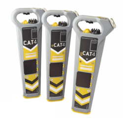
CAT4
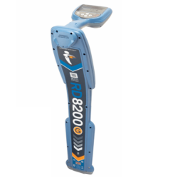
Pipe Cable Locator
Pipe Cable Locator
