RD Map - FREE Map&Share™ Android app able to create detailed maps
RD-Map new Android app Map&Share™ allows locator technicians to create detailed maps of buried utilities, share them directly from the field.
Overview
MAP
And Share Buried
Utilities Detected
ON
Google Maps Free
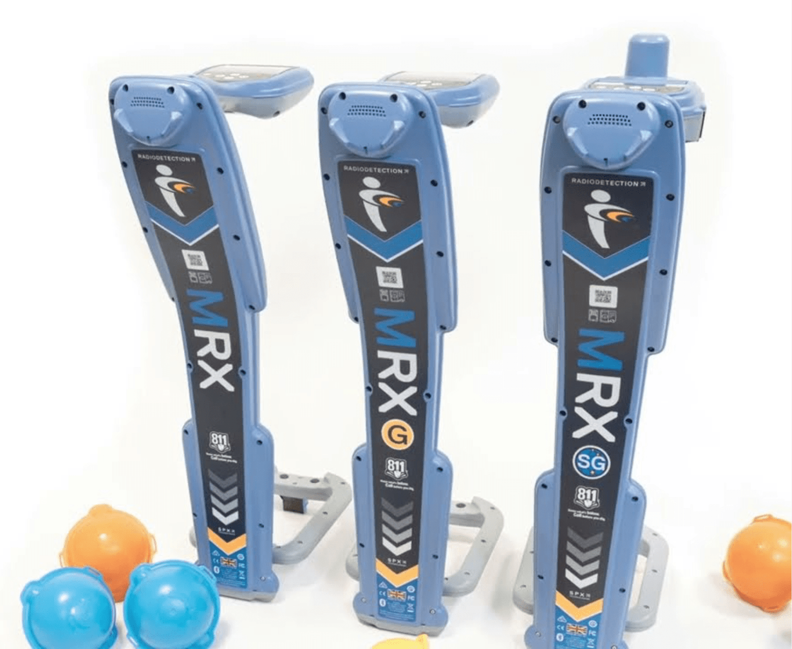
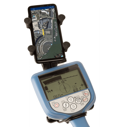
to download from Google Playstore. Work with Precision Locator Range RD Map™ is the free Map&Share™ Android app which supports Radiodetection’s Bluetooth Precision locators and allows locator technicians to create detailed maps of buried utilities and share them directly from the field*.
RD Map uses Google Maps to create detailed maps of sub-surface utilities . Utilities are imported to Google Maps using markers and utility tracks identified using standard coloring.
Simple to use measurement tools allow the operator to correct any GPS inaccuracy immediately. For situations where very high accuracy position measurements are needed RD Map can be set to utilise a compatible Bluetooth GPS/GNSS receiver.
Specifications
| Brand | Radiodetection |
| Category | Pipe & Cable Locator |
| Type | Software |
| Availability | Enquire for current lead time |
| Support | Local training, calibration & repair (Malaysia) |
Full technical specifications are in the datasheet, or ask a specialist for details.
Precision You Can Trust, Underground.
From utility mapping to leak detection. See how RD-Palmer's technology performs on real Malaysian sites.